

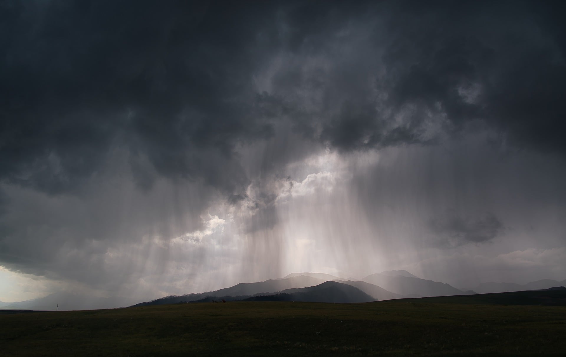
FORT WAYNE, Ind. (WLKI)- Another round of wet weather is expected to move through northeast Indiana this weekend, bringing periods of heavy rain, thunderstorms and an increased risk of flooding.
Forecasters say another weather system will move through the Great Lakes Region and Ohio Valley, continuing a recent pattern of unsettled conditions across the area.
Because of recent heavy rainfall and the potential for additional flooding, First Alert Weather Days have been declared for both Saturday and Sunday.
The heaviest rain is expected during two main windows. On Saturday, the greatest chance for heavy rainfall is expected between about 4 a.m. and 1 p.m. Another round of heavier rain is possible Sunday between approximately 1 a.m. and 11 a.m.
Severe weather is not currently expected with either round, but forecasters say thunderstorms could produce torrential downpours. With the ground already saturated in some locations, additional rainfall could lead to flooding on roads, in yards and in areas with poor drainage.
Drivers are encouraged to use caution if they encounter standing water and avoid attempting to drive through flooded roadways.
Temperatures will remain relatively mild through the weekend, with high temperatures expected to reach the 70s.
Rain chances will continue into Sunday afternoon and Monday, although the threat for additional flooding is expected to decrease considerably. Occasional showers will remain possible during that period.
Conditions are then expected to gradually improve beginning Tuesday.
Forecasters expect progressively sunnier weather through the remainder of next week, with high temperatures generally reaching the upper 60s to around 70 degrees.
Residents are encouraged to continue monitoring the forecast throughout the weekend, particularly in locations that have already received significant rainfall in recent days.